• 3D SCANNING
  • Services
  • Portfolio
  • About us
  • Contact
  • English
    • Magyar
    • Română
Menu
  • 3D SCANNING
  • Services
  • Portfolio
  • About us
  • Contact
  • English
    • Magyar
    • Română

3D SCANNING

3D SCANNING

Due to the speed of scanning and pre-registration of technical positions we ensure a quick final result

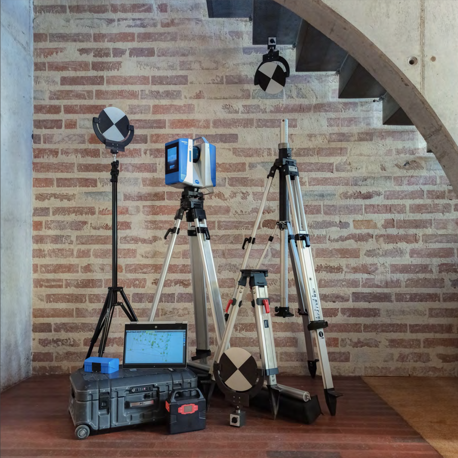
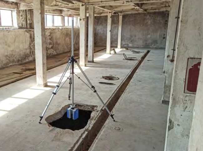
We have different types and sizes of tripods with which we can make measurements at heights and depths of 4 m. The use of laptops on the site ensures the connection between the technical positions and their verification, and professional survey target points and other auxiliary technical equipments help us to make the most accurate and fast surveys.

Beside the equipment used on site, in the office we have the most professional computers, which can process projects with thousands of technical positions and target points.

Format generates

Point Clouds

.e57, .las, .laz, .ply, .ptc

2D drawings

pln (ArchiCAD 22-23), .pla (ArchiCAD 22-23), .pdf, .dwg

3D CAD models

.pln (ArchiCAD 22-23), .pla (ArchiCAD 22-23), .dwg, .ifc, .dxf

3D LASER SCANNING HAS THREE MAJOR STAGES

01  

On site data collection with portable 3D laser scanner

Currently, the most efficient laser scanning equipment in terms of the most accurate result is the model that can be fixed on a tripod

The scanner in this fixed position by a rotation movement around a vertical axis emits several million laser rays per second, which, reflecting in the lens of the scanner, fix the spatial coordinates of the waves.

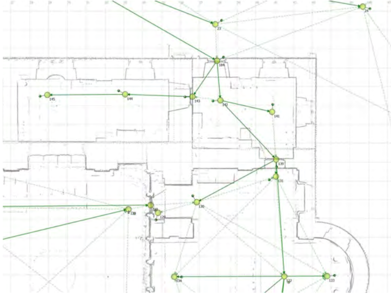
In order to achieve the total survey of the object, the device must be positioned in several points. The multitude of these points represents that cloud of points in which all (measurable) surfaces can be seen.

Due to the fact that the device does not have to be accessed even at the elements located at higher heights or greater depths, the time of measurement and the risks are essentially reduced.

02  

Collected data procession

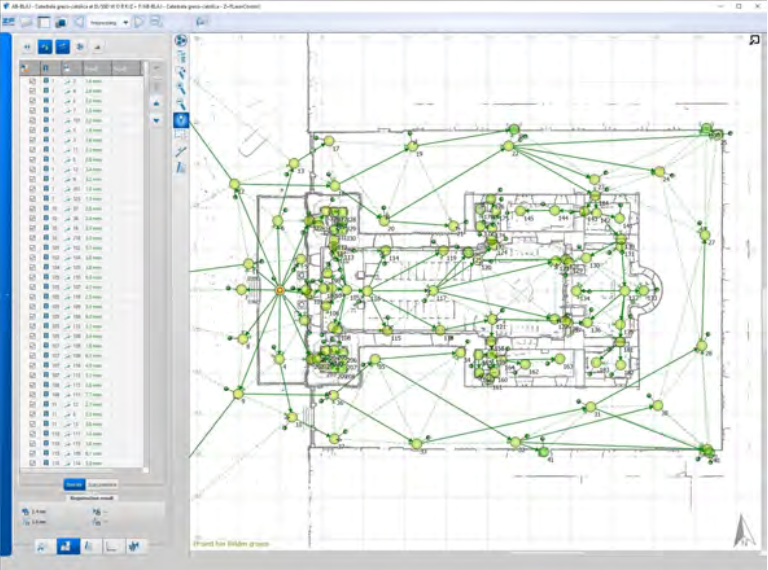
The second step consists in processing the data in the office, more precisely in verifying the connections between the measurements made on site, in most cases with a margin of error between 0 and 3 mm.

The scientific term of cloud of points means these millions or billions of points, which form the visible surfaces of the surveyed object.

The 3D object created in this way can be imported into CAD programs in black and white or color, reproducing the real chromatic of the buildings or tinting their level or plan differences with colors. At the same time, a cloud of points can be coloured starting from a 3D CAD model, and this is how the differences in the plan/design can be checked.

To get the best result, the cloud of points goes through an automatic filter that removes most of the noise and false points. Then follows the manually deletion of false points left by reflections from light surfaces.

03  

Realising 2D drawings and 3D models

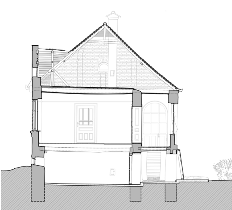
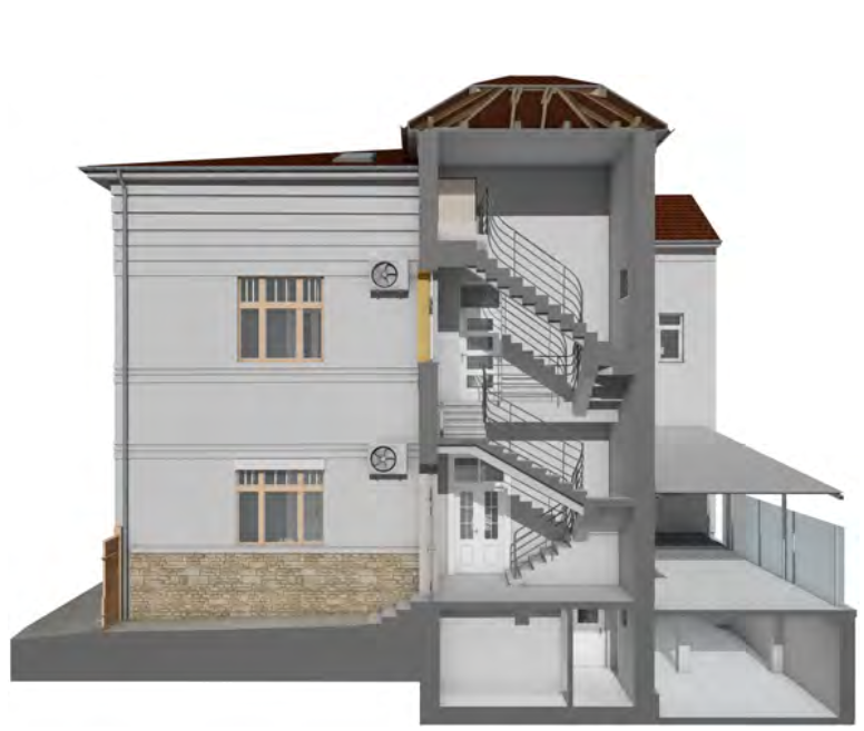
The third step consists in making the 3D CAD model and/or architectural drawings (situation plans, sections, facades, details). The drawings are made according to the client’s requirements regarding their scale, quality or special graphics.

A team of accredited architects work on these drawings and models, so the quality and accuracy of the delivered surveys reflect the right understanding of form and architecture.

The cloud of points is the true copy of the surveyed object; therefore, it does not require further site visits in order to verify or complete the measurements.

Using 3D scanning

SURVEY OF SITES

The defining point of any design process is the survey of the site. Compared to classical on site data collection, the 3D laser scanning provides a complex and real visual presentation of the site, through the cloud of points, which shows not only the site, but also its environment (roads, paths, vegetation), its context and its vicinity. The clouds of points can be georeferenced, can be imported directly into CAD where the entire BIM model of the plan can be harmonized with the surrounding environment.

VERIFICATION OF THE CONSTRUCTION

Due to the multitude of on-site collected data in a short period of time, 3D laser scanning is ideal for verifying the correctness of constructions in progress, respectively for documenting work stages. The data scanned during the construction site compared to the 3D CAD model of the project results a coloured cloud of points, which shows the difference between the project and its implementation, the right or wrong surfaces.

HISTORICAL BUILDINGS

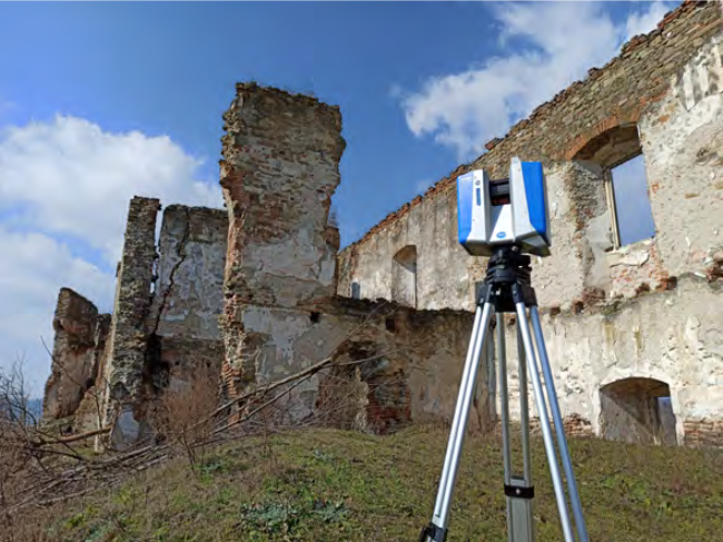
In many cases the form of these buildings in design, in space and on surfaces is complex and irregular. The complex elements of the building (arches, vaults, rich architectural ornaments, imposing staircases, roof structures) are very difficult to survey with classical methods. 3D laser scanning, however, is an ideal method because it is fast, accurate and does not require scaffolding to be performed

INDUSTRIAL BUILDINGS

3D laser scanning is also ideal in the case of functional or abandoned industrial buildings and constructions, because it can record the data of surfaces located at a greater distance under conditions of maximum security. It can collect millimeter-accurate data on any surface visible to the eye. In addition, it documents the volume and trajectory of ventilation, air conditioning and heating installations.

RESIDENTIAL BUILDINGS

The precise accuracy of the 3D laser scanner versus the speed of on-site data collection is an ideal method for residential buildings as well, especially since the surveying process is non-invasive. With the help of this method we can bring the best decisions from the design stage, but it can be ordered the furniture too without having problems with installations.

PUBLIC/PRIVATE EXTERIORS

3D laser scanning is optimal for surveying public and private outdoor spaces, exteriors throughout recording from very distant surfaces with great accuracy, ensuring a very fast survey in relation to the number of measured points.

ARCHAEOLOGY

Due to the non-invasive and detailed character of the surveying process, 3D laser scanning is ideal in surveying any archaeological object. The method offers the possibility to present coherently and visually and georeferenced the successive stages of research, excavations carried out in different periods.

MINING

Surveying the relief and cavities of mining operations offers the possibility of making 3D models, they help design and consolidate the various stages of exploitation. Sequential surveys help to calculate the volume of mined material.

Contact

Street ACAD. DAVID PRODAN, Number 12,
CLUJ-NAPOCA

E. office@fragmentum.ro
T. 0364 730 158
T. +40 771 146 389

social networks

Facebook-f

Useful links

  • Scan 3d
  • Services
  • Portfolio
  • About us
  • Contact
all rights reserved © fragmentum
WordPress Design and Development by WebGurus

We are using cookies to give you the best experience on our website.

You can find out more about which cookies we are using or switch them off in settings.

Powered by  GDPR Cookie Compliance
Privacy Overview

This website uses cookies so that we can provide you with the best user experience possible. Cookie information is stored in your browser and performs functions such as recognising you when you return to our website and helping our team to understand which sections of the website you find most interesting and useful.

Strictly Necessary Cookies

Strictly Necessary Cookie should be enabled at all times so that we can save your preferences for cookie settings.

If you disable this cookie, we will not be able to save your preferences. This means that every time you visit this website you will need to enable or disable cookies again.